- Who We Are
- How We Work
- Regional / Country Initiatives
- Legacy
- Core Themes
- Working Groups
- Portfolio & Results
- Newsroom
- Resources
Secure Tenure on Zanzibar

Secure Tenure in African Cities - Home
Project selected under the Innovation Programme Call for Proposals 2019:
Secure Tenure in African Cities: Micro Funds for Community Innovation
|
What is the problem? The Revolutionary Government of Zanzibar (RGoZ) has struggled to provide Certificates of Occupancy to citizens. Without such documents, however, land users may face ownership, management, and tenure issues and delays in development projects.
Where does it occur?
Who does it affect? The lack of title deeds to their properties affects landowners’ ability to use, improve, and manage their properties most effectively. The lack of data also affects the government’s ability to effectively implement new land development projects.
What are the causes? |
Approach RGoZ needed a more efficient method for collecting land information. The goal of the project was to develop a data collection method that used ubiquitous digital technology. Working closely with the government, Spatial Collective and partners set up a data model and data collection protocols; developed a field guide and criteria for selection of tools and methods; created customized technology to collect data; trained Zanzibar stakeholders on data collection and management; carried out data collection in a pilot area; and supported the Zanzibar Commission for Lands (COLA) with data processing. The project aimed to set in motion activities that will enable RGoZ to reach the desired target of adjudicating 50% of land ownership claims in the coming months and years. Further, the project sought to enhance the local capacity and institutional development necessary to support the design and implementation of evidence-driven urban property rights interventions. Finally, a project goal was to benefit citizens by helping them obtain certificates of occupancy on their properties, thereby unlocking the assets within those properties. |
Achievements
The project collaborated closely with RGoZ, a rarity in this sector. Spatial Collective engaged with and received support from the Ministry of Lands, Energy and Water to conduct this pilot project. They worked directly with COLA in all critical stages, such as the review of existing land adjudication processes, field testing the proposed tool, and the actual property data collection. Through all stages, insights and practical knowledge were shared between the teams.
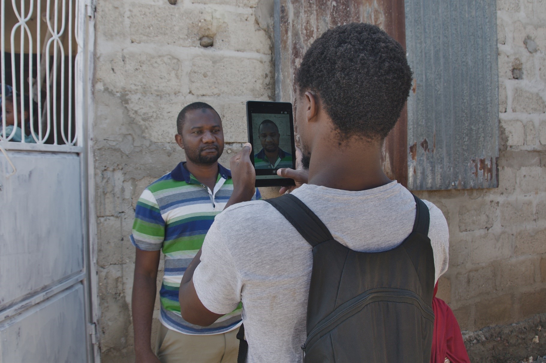
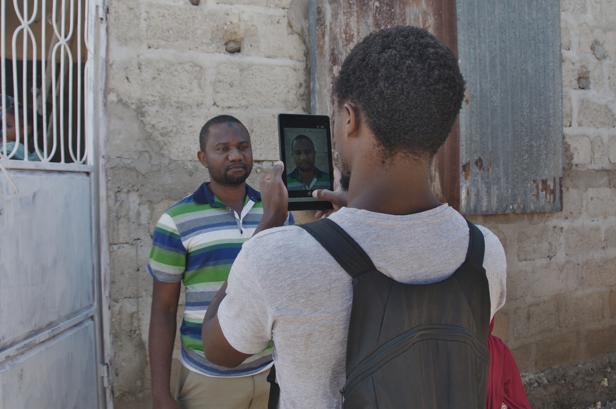
Together with COLA, Spatial Collective reviewed the existing adjudication process, redesigned the paper-based adjudication form, and, working with Cadasta Foundation, built a platform for digital land data collection. Using this platform, we were able to engage more data collectors, thereby speeding up the process. All the required property data (e.g., boundary points, owner information, relevant documents, signatures, etc.) was collected once and digitally recorded.
In 6 weeks of fieldwork, 10 data collectors mapped 492 plots in the town of Shakani and documented 230 men and 85 women as landowners. Of these, only 170 had any existing form of documentation asserting their claim to the land they occupied; the most common (76%) method of land acquisition was by purchase. For the adjudicated plots, certificates of occupancy have yet to be issued, as there are still two legal procedures remaining in the process. However, according to the adjudication officers, these two steps are relatively straightforward, since they now have a means of quickly and efficiently collecting ownership information.
The methodology proved so effective that COLA, supported by a data acceleration grant from Cadasta, have chosen to continue with data collection despite the COVID-19 pandemic (Tanzania remained relatively open during the crisis). The commission expressed interest in further working with Spatial Collective and donors to scale up this project and incorporate other innovative digital strategies that will help them quickly regularize land tenure in the entire island nation.
Lessons learned
There are likely hundreds of thousands of properties on Zanzibar Archipelago. Using traditional tools and methods, the work of documenting every single plot cannot be finished in a lifetime. By contrast, using new technologies dramatically speeds up the data collection process, while at the same time, the ease of use enables the deployment of a large contingent of enumerators.
The only caveat, as raised by the adjudication officers, was the accuracy of the location data. The project application could not achieve the accuracy of the GNSS RTK system currently used by the department. To remedy this, we incorporated high-resolution drone imagery (7cm) into our workflow, which helped us achieve less than 1-meter accuracy, which was acceptable to the adjudication officers.
Testimonies
“The positive feedback I get from residents personally calling me is encouraging. This shows that this method we are testing is so far effective in terms of involving the local community. So far, my office is satisfied with the speed and quality of data coming in.”
— Land Adjudication officer
“This new method the Commission is using to document our land is very effective to us. In a few minutes, I complete a process that used to take months. I don’t to have spend a lot of money and time visiting the lands office multiple times to deliver various documents.”
— Shakani resident
About the grant recipient
Spatial Collective is a Nairobi-based, Geographic Information Systems (GIS) and technology consulting company that
operates primarily in East Africa. Its model consists of training and supporting communities and organisations on
adopting available technologies to collect data that is important to them.
Most of Spatial Collective’s work is conducted in difficult environments where there is little existing data and on issues of
significant global importance ranging from property rights, environmental management, livelihoods, economic prosperity,
formal and informal governance initiatives, and safety and security.
Resources from this project

(Report) |

Project Update (December 2019) (Report) |
