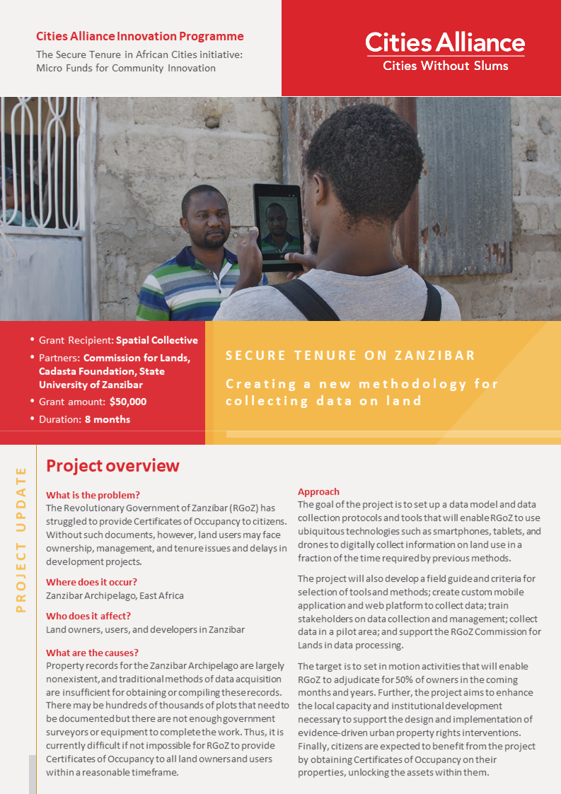
In recent years, the Revolutionary Government of Zanzibar has struggled to provide title deeds to its growing population, partially because complete records of how many properties there are on the islands do not exist. In 2018, Spatial Collective supported the Zanzibar Commission for Lands (COLA) and the State University of Zanzibar to form a team which digitised 360,000 buildings on the Zanzibar Archipelago using drone imagery. Most of the buildings were located on Unguja Island, and predominantly in Zanzibar City, a fast-growing metropolitan area with a population of 700,000. The same team also completed a household survey of more than 2,000 households.
In 2019, Spatial Collective's project "Secure Tenure on Zanzibar" was selected for funding under Cities Alliance Innovation Programme. The target is to set in motion activities that will enable RGoZ to adjudicate for 50% of owners in the coming months and years.
The project has reviewed the land adjudication process in Zanzibar, assessed the efficiency of data collection methods and completed the subsequent redesign of the paper based adjudication form. A smartphone and web-based platform for digital data collection was built and tested in the field with the Adjudication Department of the RGoZ Commission for Lands. Data collection activities will now start within the pilot area.
Check out this 2-pager highlighting the key lessons learned and achievements so far.


