Digital technology can help cities in providing their constituents with essential public services such as safety, security, water and even medical information during the COVID-19 pandemic. Cities Alliance in collaboration with organisations and citizens tested digital solutions that have made public spaces safer and provided city-level data on pandemic response and water management in secondary cities.
As a woman, I find Safetipin useful as it tells me which places are unsafe and why. Further, it provides data as evidence for our advocacy as an organisation.
- Sushma Mahabala, Bangalore Political Action Committee
Digital Tools for Reporting Corruption, Safety Threats, and Poor Service Delivery on Public Transportation, Guatemala
RedACTES - Citizens Action Network for Safe and Efficient Public Transportation: The project worked towards a safer and more efficient public transport service for all citizens, and women in particular. Through a web-based platform and SMS service, users report incidents of crime, harassment, or overcharging. The project monitored and analysed the user reports to advocate improvements with service providers and local governments. The project encouraged women to raise their voices and report problems they face on public transportation, and provided them with legal aid and legal action.
RedACTES collaborated closely with the Human Rights Attorney and reached an agreement with the Municipality of Guatemala to use the collected data and take action accordingly. The RedACTES project demonstrates that technology can create more direct communication channels between citizens and authorities. Read more here.
Data Collection and Visualisation Tools for Water Management, India
Bangalore Urban Metabolism Project (BUMP) was conceived to fill a knowledge gap on Bangalore’s water supply and demand. The project undertook a domestic water survey of 1,500 households and monitored groundwater levels at more than 150 locations over the course of almost two years. With this information, Bangalore’s first high-resolution groundwater map was developed, providing an evidence base for improved water resource management. The project’s findings were translated into practical toolkits, which are available on an online information geoportal with a scenario explorer that allows users to interact with different aspects of water resource management in the city. Watch the video here.
ICT for Public Space Improvement Integrating Gender Considerations: India, Kenya, Colombia
The SafetiPin project (New Delhi, Bogota, Nairobi) is a technology platform, supported by Cities Alliance from 2015 to 2017, that makes communities and cities safer by providing safety-related information collected by users and trained auditors through an easy-to-use app. Through crowdsourcing and other data collection tools, this platform increased awareness related to women’s safety in cities. It also had an impact on local policies through alliances with municipalities, which contributed to improving public lighting in New Delhi. Today, Safetipin is used by over 85,000 people in 12 cities, contributing to safer environments for women globally.
Safetipin won the Dubai International Award for Best Practices and the Womanity Award, which recognizes initiatives that protect women and girls around the world from gender violence. Read more here.
Filling the data gap: COVID-19 Hotspots 2021
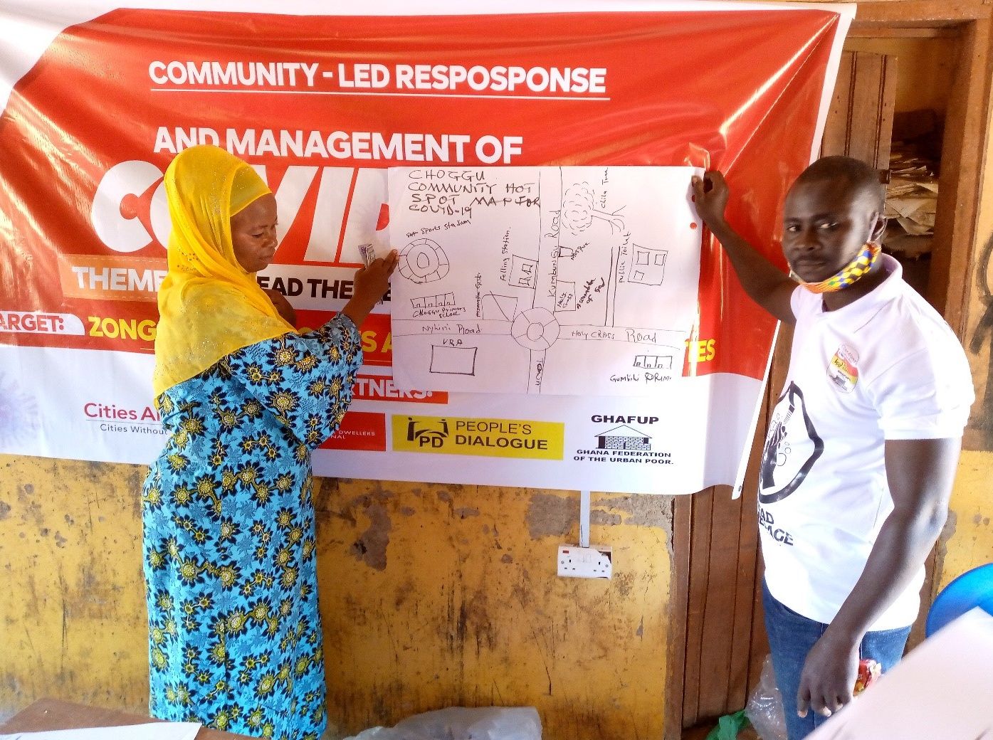
This project – a partnership of Slum Dwellers International (SDI), local affiliates of SDI, the World Bank, and Cities Alliance – utilised citizen-led data collection, real-time, geospatial, qualitative slum data in informal settlements in eight cities across Africa and South Asia. Since most publicly available, city-level data sources lack disaggregated data on slums, the project sought to fill the data gap and improve or validate maps of places that were COVID-19 hotspots. The analysis required three primary datasets: population, building heights, and location of key services. The tool identified hotspots where the risk of exposure and community contagion is likely to be high.
Despite the unique challenges the pandemic posed in each of the cities, the collaboration delivered results and successfully filled critical data gaps for the benefit of the most vulnerable urban residents. Data resulted in plans for improved water provision and sanitation and strengthened the basis for active partnerships between cities and the urban poor. Read more here and here.


